MAPS OF HISTORICAL DATA
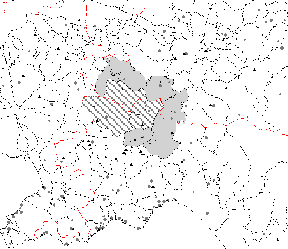
Distribution of sites affected by landsldies (dots) and floods (triangles) in the Campania Region. Small symbols represents one event. Larger symbols represents more than one event in the same site. The same map is available in
colors.

Enlargment of the previous map.